New map renderings courtesy of CampusBird
You may have already noticed, but if you take a look at the Ole Miss campus map, you will notice a BIG difference in its appearance.
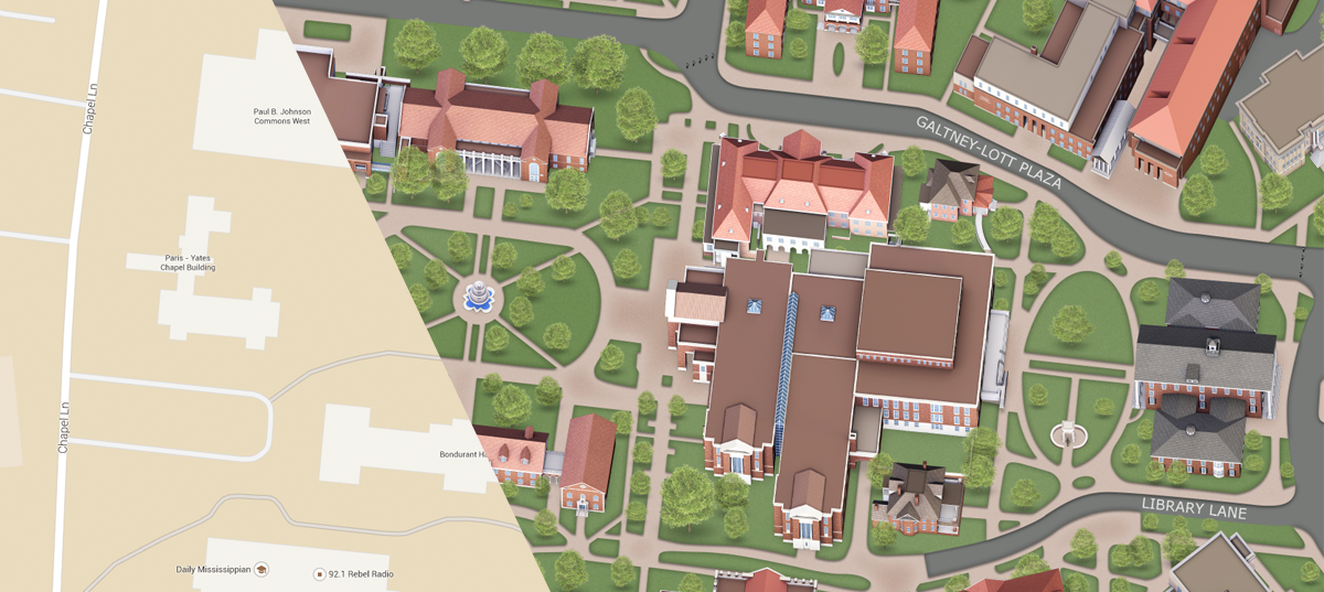
The university is continuing its tradition of excellence by upgrading its map management system with leading software development company Concept3D’s CampusBird interactive mapping platform.
Used by more than 75 universities, CampusBird maps feature custom media, including the beautiful images captured by University Photography. It uses Google Maps and Google Earth as its base, but the artisans with Concept3D have taken it up a notch by including 3-D models, 2-D overlays and 360-degree panoramic, street-view imagery. It is also compatible for mobile phones.
The new platform can seamlessly keep map data refreshed in near-real time, so any university updates regarding events, road closures, construction or emergencies can be imported and viewed by the public in moments.
From cultural landmarks, dining options, university departments or bus routes, users can select categories and navigate our campus in a more manageable way. Layers such as “Academic,” “Residential,” “Transit” or “Accessibility” help with convenience and diminish confusion. New updates will include a virtual campus tour complete with video produced by University Communications.
This cutting edge map is visually appealing and easy to use, so anyone from prospective students to new faculty and staff or visitors can experience Ole Miss without the guesswork. So, if you haven’t already viewed the new map, check it out.