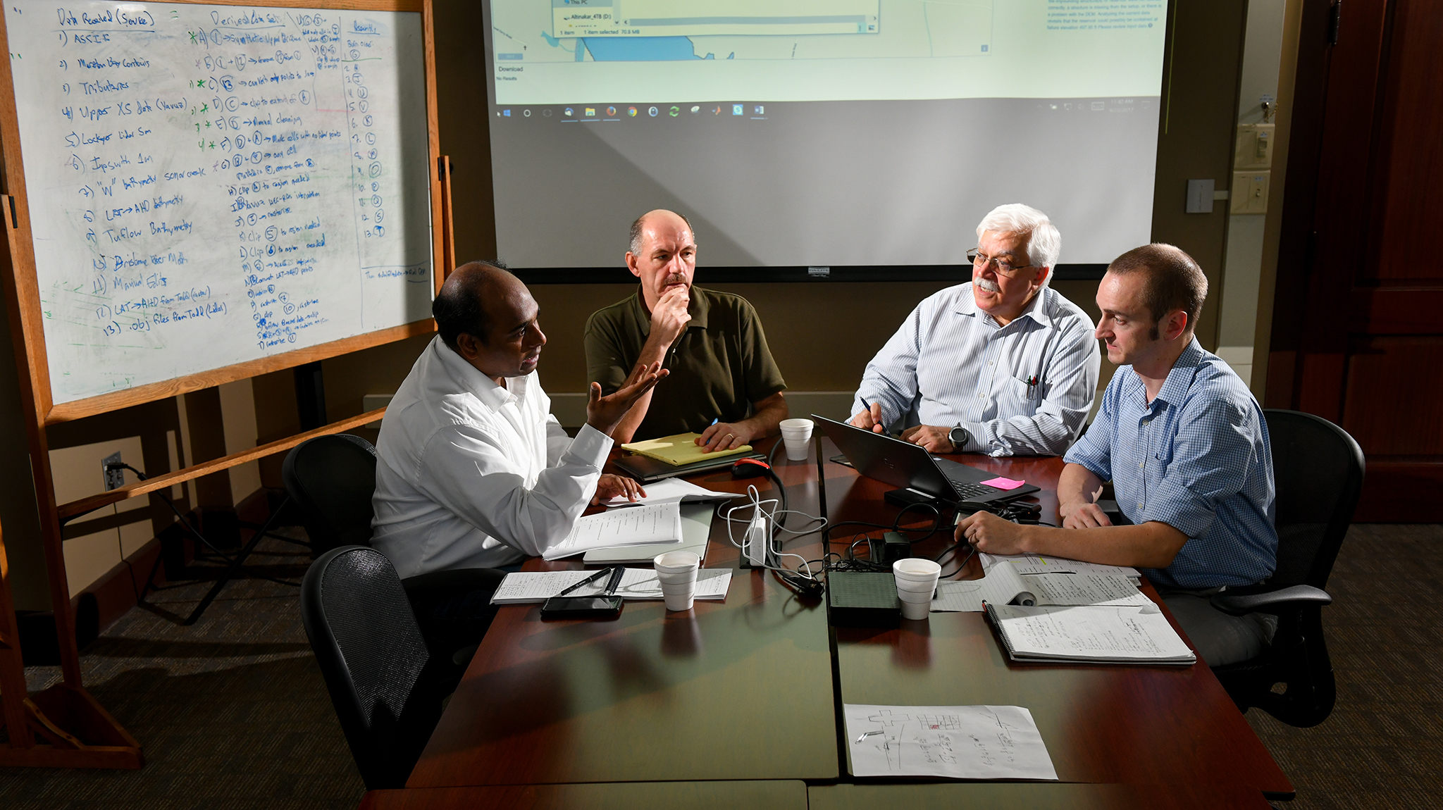
Members of the National Center for Computational Hydroscience and Engineering research team collaborate on the latest user request on the DSS-WISE Lite software the team created for dam and levee failure projections. Photo by Robert Jordan/Ole Miss Communications